File:RosenortLakendorfKrebsfelde.jpg
Jump to navigation
Jump to search
The printable version is no longer supported and may have rendering errors. Please update your browser bookmarks and please use the default browser print function instead.

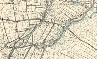
Size of this preview: 800 × 489 pixels. Other resolutions: 320 × 196 pixels | 1,000 × 611 pixels.
Original file (1,000 × 611 pixels, file size: 249 KB, MIME type: image/jpeg)
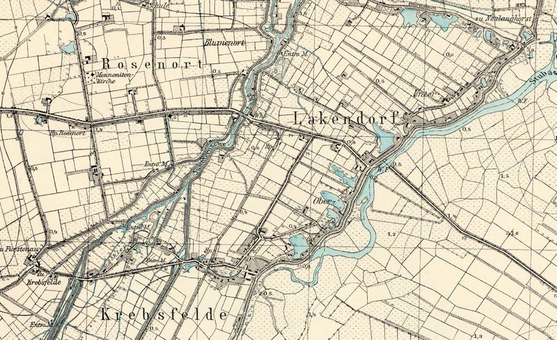
Detailed map of Rosenort, early 20th century.
Source: Archiwum Map Zachodniej Polski.
File history
Click on a date/time to view the file as it appeared at that time.
| Date/Time | Thumbnail | Dimensions | User | Comment | |
|---|---|---|---|---|---|
| current | 17:09, 23 August 2013 | | 1,000 × 611 (249 KB) | Maintenance script (talk) | Detailed map of Rosenort, early 20th century. Source: [http://amzpbig.com/maps/1881_Zeyer_1931.jpg Archiwum Map Zachodniej Polski] |
| 20:24, 16 August 2013 | 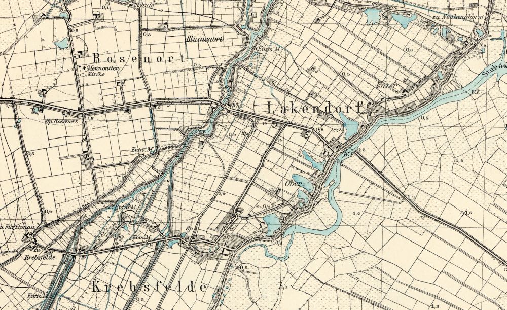 | 1,000 × 611 (249 KB) | Maintenance script (talk) | Detailed map of Rosenort, early 20th century. Source: [http://amzpbig.com/maps/1881_Zeyer_1931.jpg Archiwum Map Zachodniej Polski] Archiwum Map Zachodniej Polski |
You cannot overwrite this file.