File:NC Wautauga.jpg
Revision as of 20:33, 16 August 2013 by Maintenance script (talk) (Watauga County, North Carolina U.S. Census TIGER/Line map)
Size of this preview: 800 × 349 pixels. Other resolutions: 320 × 140 pixels | 1,009 × 440 pixels.
Original file (1,009 × 440 pixels, file size: 60 KB, MIME type: image/jpeg)
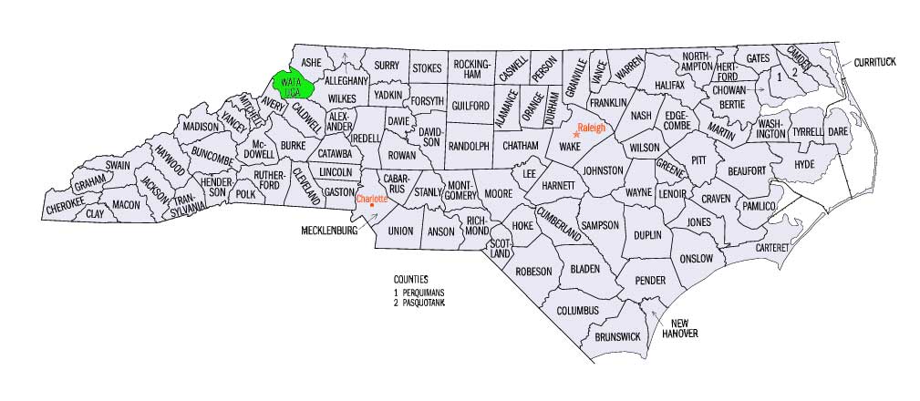
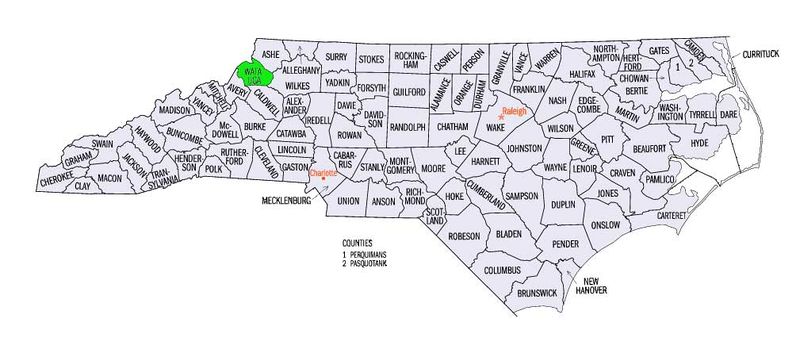
Watauga County, North Carolina
U.S. Census TIGER/Line map
File history
Click on a date/time to view the file as it appeared at that time.
| Date/Time | Thumbnail | Dimensions | User | Comment | |
|---|---|---|---|---|---|
| current | 17:16, 23 August 2013 | | 1,009 × 440 (60 KB) | Maintenance script (talk) | Watauga County, North Carolina U.S. Census TIGER/Line map |
| 20:33, 16 August 2013 |  | 1,009 × 440 (60 KB) | Maintenance script (talk) | Watauga County, North Carolina U.S. Census TIGER/Line map |
You cannot overwrite this file.
File usage
The following page uses this file: