File:AllenOH map.jpg
Revision as of 17:14, 23 August 2013 by Maintenance script (talk) (Maintenance script uploaded a new version of "File:AllenOH map.jpg": Allen County, OH US Census TIGER/Line map)
The printable version is no longer supported and may have rendering errors. Please update your browser bookmarks and please use the default browser print function instead.
Size of this preview: 557 × 599 pixels. Other resolutions: 223 × 240 pixels | 804 × 865 pixels.
Original file (804 × 865 pixels, file size: 145 KB, MIME type: image/jpeg)
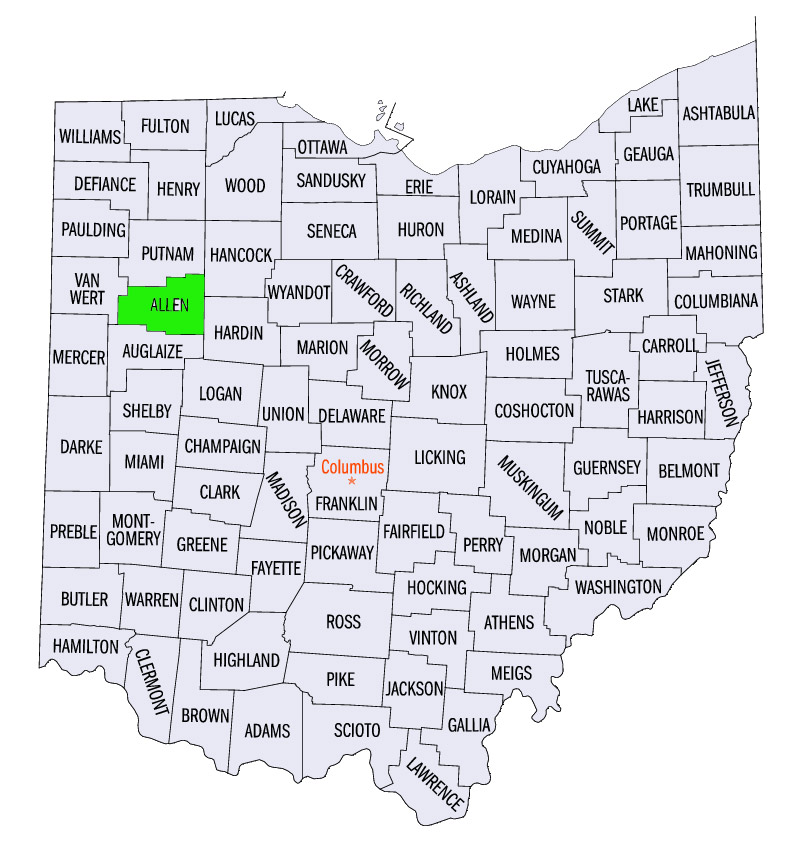
Allen County, OH
US Census TIGER/Line map
File history
Click on a date/time to view the file as it appeared at that time.
| Date/Time | Thumbnail | Dimensions | User | Comment | |
|---|---|---|---|---|---|
| current | 17:14, 23 August 2013 | | 804 × 865 (145 KB) | Maintenance script (talk) | Allen County, OH US Census TIGER/Line map |
| 20:30, 16 August 2013 |  | 804 × 865 (145 KB) | Maintenance script (talk) | Allen County, OH US Census TIGER/Line map |
You cannot overwrite this file.
File usage
The following page uses this file: