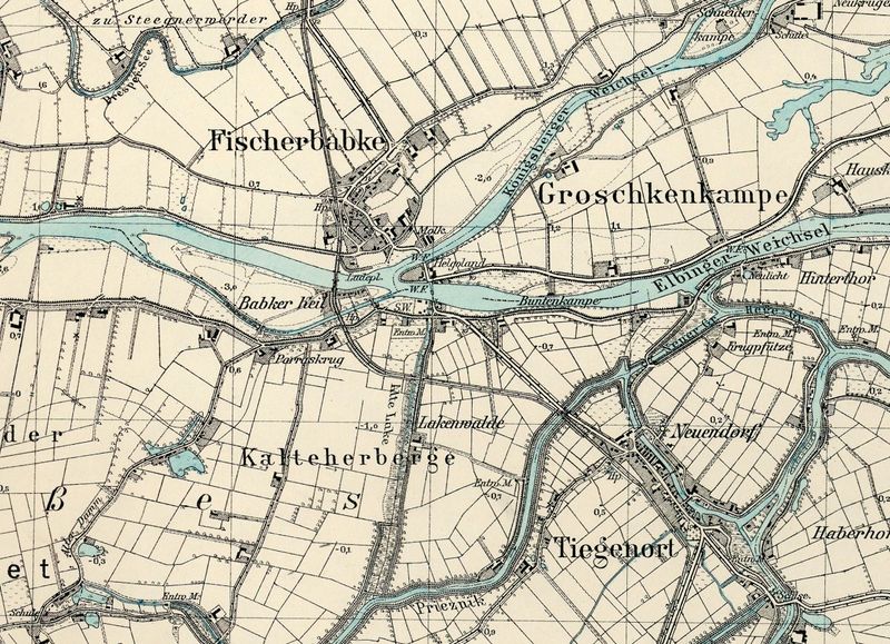
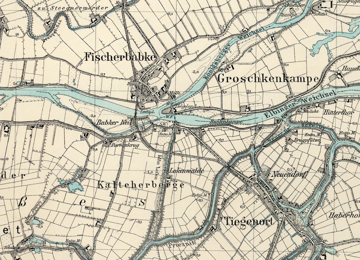
File:Kalteherberge-Groschkenkampe.jpg
Jump to navigation
Jump to search
Size of this preview: 800 × 579 pixels. Other resolutions: 320 × 232 pixels | 1,200 × 869 pixels.
Original file (1,200 × 869 pixels, file size: 394 KB, MIME type: image/jpeg)
Detailed map of Kalteherberge and Groschkenkampe.
Source: Archiwum Map Zachodniej Polski.
File history
Click on a date/time to view the file as it appeared at that time.
| Date/Time | Thumbnail | Dimensions | User | Comment | |
|---|---|---|---|---|---|
| current | 07:13, 18 August 2014 | | 1,200 × 869 (394 KB) | RichardThiessen (talk | contribs) | Detailed map of Kalteherberge and Groschkenkampe. Source: Archiwum Map Zachodniej Polski http://amzpbig.com/maps/1780_Tiegenhof_1925.jpg |
You cannot overwrite this file.
File usage
The following 2 pages use this file: