File:MImap Kent.jpg
Revision as of 17:14, 23 August 2013 by Maintenance script (talk) (Maintenance script uploaded a new version of "File:MImap Kent.jpg": Kent County, Michigan. U.S. Census Bureau Map)

Size of this preview: 531 × 600 pixels. Other resolutions: 212 × 240 pixels | 766 × 865 pixels.
Original file (766 × 865 pixels, file size: 92 KB, MIME type: image/jpeg)
Kent County, Michigan.
U.S. Census Bureau Map
File history
Click on a date/time to view the file as it appeared at that time.
| Date/Time | Thumbnail | Dimensions | User | Comment | |
|---|---|---|---|---|---|
| current | 17:14, 23 August 2013 | | 766 × 865 (92 KB) | Maintenance script (talk) | Kent County, Michigan. U.S. Census Bureau Map |
| 20:31, 16 August 2013 | 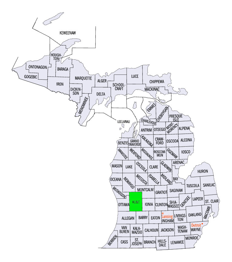 | 766 × 865 (92 KB) | Maintenance script (talk) | Kent County, Michigan. U.S. Census Bureau Map |
You cannot overwrite this file.
File usage
The following page uses this file: