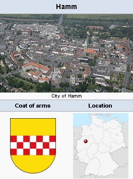
Hamm (Nordrhein-Westfalen, Germany)

Hamm, North Rhine-Westphalia, Germany (coordinates: 51.683333, 7.816667 [51° 41′ 0″ N, 7° 49′ 0″ E], where there was once a small Mennonite congregation The Naamlijst of 1731 states that the pulpit was vacant at that time. Since the following Naamlijsts do not list the congregation, it was obviously extinct.
Bibliography
Hoop Scheffer, Jacob Gijsbert de. Inventaris der Archiefstukken berustende bij de Vereenigde Doopsgezinde Gemeente to Amsterdam, 2 vols. Amsterdam: Uitgegeven en ten geschenke aangeboden door den Kerkeraad dier Gemeente, 1883-1884: v. I, 1101-2.
Map
Map:Hamm, Nordrhein-Westfalen, Germany
| Author(s) | Nanne van der Zijpp |
|---|---|
| Date Published | 1956 |
Cite This Article
MLA style
Zijpp, Nanne van der. "Hamm (Nordrhein-Westfalen, Germany)." Global Anabaptist Mennonite Encyclopedia Online. 1956. Web. 19 Jan 2026. https://gameo.org/index.php?title=Hamm_(Nordrhein-Westfalen,_Germany)&oldid=112409.
APA style
Zijpp, Nanne van der. (1956). Hamm (Nordrhein-Westfalen, Germany). Global Anabaptist Mennonite Encyclopedia Online. Retrieved 19 January 2026, from https://gameo.org/index.php?title=Hamm_(Nordrhein-Westfalen,_Germany)&oldid=112409.
Adapted by permission of Herald Press, Harrisonburg, Virginia, from Mennonite Encyclopedia, Vol. 2, p. 644. All rights reserved.
©1996-2026 by the Global Anabaptist Mennonite Encyclopedia Online. All rights reserved.
